Urban heat islands
How urban infrastructure exposes our most vulnerable to scalding adversity
Sabrine Adjinakou & Karandeep Singh
This June, Ottawa experienced its hottest day in more than a century at 35°C. Environment Canada issued alerts, calling on seniors and people with fragile health to stay indoors—regardless of the fact that many homes in the “True North” are not built to be hospitable in such heat. Many folks cannot afford to cool their homes, while many others live in ill-ventilated apartments. These record-shattering events are becoming increasingly common as climate change affects us in unprecedented ways, and extreme climatic conditions are slated to become even more intense.
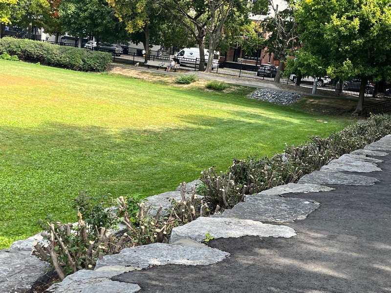
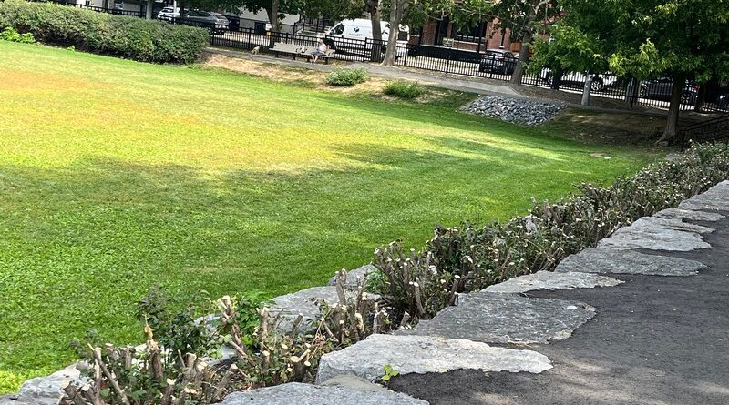
Urban infrastructure retains heat. Surfaces such as asphalt, pavements, rooftops, etc. absorb heat during the day and gradually release it overnight. On the other hand, trees and green spaces help cool the air by providing shade and releasing moisture into the atmosphere. Neighbourhoods with fewer trees and more built-up spaces are most likely to suffer from unhealthy heat levels even after sunset. The City of Ottawa employs the Tree Equity Score to assess urban tree canopy cover and to identify areas with low tree canopy cover. The American Forests Tree Equity Score was developed to measure and address inequities in tree distribution in cities and towns.
The most recent assessment of tree canopy cover in Ottawa was released on September 4, 2025, covering the five-year period from 2017-2022. That report, which is available on the City of Ottawa website, identified that the target tree canopy cover for urban areas is 40%. The neighbourhoods identified with low canopy cover tend to be lower income, overcrowded, poorly served by transit and more socially vulnerable overall. There are quite a few Ottawa neighbourhoods that are significantly less than 40%. Our Rideau-Vanier ward sits at 21%, well below the 40% target for tree canopy cover. The Rideau-Vanier ward was assessed at the same 21% tree canopy cover in 2017, so there has been no improvement during the five-year period assessed.
More affluent areas tend to be better shaded and have better access to greenspaces, whereas denser, poorer neighbourhoods, where the houses more often do not have central air-cooling systems, have fewer greenspaces which can serve as an oasis during sweltering temperatures. A single well-placed tree can provide shade, and clusters of trees in public parks lower the temperatures around them. Less affluent neighbourhoods lack access to public parks, and those they have tend to be poorly maintained. These differences between affluent and less affluent neighbourhoods originate from years of uneven investments by the City.
Cities must focus their greening efforts at the hotspots which experience the greatest heat, instead of prioritizing the already well-served, affluent areas which hold electoral sway. Residents’ voices need to matter in the decisions in their community; they are the people who inhabit those areas and naturally know best what needs fixing. The Tree Equity Score report is intended to make information available to us residents that we can use to advocate for our own health and resilience in increasingly extreme weather conditions.
Photo: Christine Aubry