Naming Sandy Hill’s streets
François Bregha
File photos by Bill Blackstone
 Although Sandy Hill is one of Ottawa’s oldest neighbourhoods, it is not really old. Yet, it is surprising how many Sandy Hill streets have disappeared or changed names over the past hundred and fifty years. They are clearly not the permanent feature of our urban landscape we imagine them to be.
As Sandy Hill’s first landowner and developer, Louis-Théodore Besserer got to name several streets himself. He named two streets (Wilbrod and Theodore, now Laurier East) after two of his sons, Daly after a government administrator in Quebec City and Stewart after his land agent. Ottawa’s other large private landholder at the time, Nicholas Sparks, also got a street name in Sandy Hill (Nicholas Street) even though his holdings were west of the Canal.
Not surprisingly, given Canada’s membership in the British Empire, many streets have been named to honour British leaders (Nelson, Russell, Goulburn) or the British royal family (Charlotte, Cornwall, Cumberland, Cobourg, Wurtemburg).
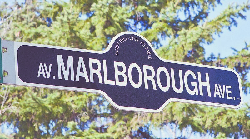
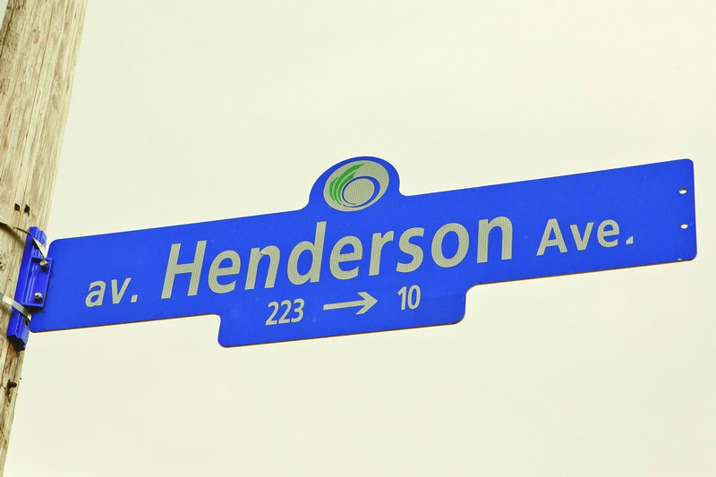
 Only a few of Sandy Hill’s streets bear names with purely local origins: Chapel Street received its name because a Wesleyan Methodist church had been built on it close to Rideau Street in 1827. Range Road (formerly Salisbury Avenue) marked the western boundary of the Dominion Rifle Range for over 20 years. A few streets honour former mayors (Friel, Waller), a local businessman (Blackburn), a local sheriff (Sweetland) and a former City clerk (Henderson). Ring Lane (running from Laurier to Wilbrod immediately west of the fire station) has a mysterious provenance that may indicate that a boxing ring had once stood there. It is more likely that the lane provided a convenient neutral ground for the boys of the neighbouring public Protestant, English Catholic and French Catholic schools to settle their differences. In a brochure celebrating St Joseph’s Church centennial, an anonymous writer notes that “many of the preliminary battles of life were lost and won [there] under the very shadow of the Church.”
 Several street names have changed over the years, sometimes subtly: King Street became King Edward Avenue; Ann Street changed to Mann Avenue (there were a lot of streets in Ottawa named Ann in those days). Some changes were made to accommodate new administrative boundaries: until 1880, the short stretches of Besserer, Daly, Stewart and Wilbrod west of Waller Street all had different names because Waller Street represented the dividing line between two different concessions. Some changes have been made to honour a political leader (e.g., Theodore became Laurier, Gloucester became Friel). More recently, the University has changed some street names on its campus (e.g., Marie Curie, Séraphin Marion, Copernicus, Louis Pasteur) to reflect their new status as private streets.
 Some Sandy Hill streets no longer exist: Hastey Street that ran south from Laurier Avenue is now mostly a pedestrian walkway on the University campus. Mosgrove Street used to run south to George Street, west of Nicholas Street—the Rideau Centre now occupies that land. The block-long James Street is now part of the Department of National Defense complex between Laurier and the Mackenzie King Bridge. McDougall Street was a short street that used to run into Nicholas Street between Osgoode and Somerset.
We may not give much thought to Sandy Hill’s street names but they tell of our history, our British colonial past, the local leaders who distinguished themselves, and changes in land use. You can learn more about Sandy Hill history at www.ash-acs.ca/history/